 |
The Bilston Heritage Trail
|

|
| The map on the right gives an overview of the walk route you can zoom in/out to change the level of detail. Move the map by using the Cursor keys. Please be aware that the map is a precise route guide there is at least one error on the map from Bilston High Street it shows Pinfold Street with a Post Office, the P.O. moved some time ago. Further it was actually located in Stonefield Walk which leads into Pinfold Street. | The walk length is about 3 Miles (4¾ Kms) it is
an easy walk which is almost flat for it's entire length. It's intended to give
people a brief introduction to some of Bilston's Heritage it is not a
comprehensive or definitive guide! Note click on an image to see full size version. Where more information is available it is linked from thecaption beneath the small image. |
This walk is a joint development between Bilston Online and In The Shadow of Elisabeth
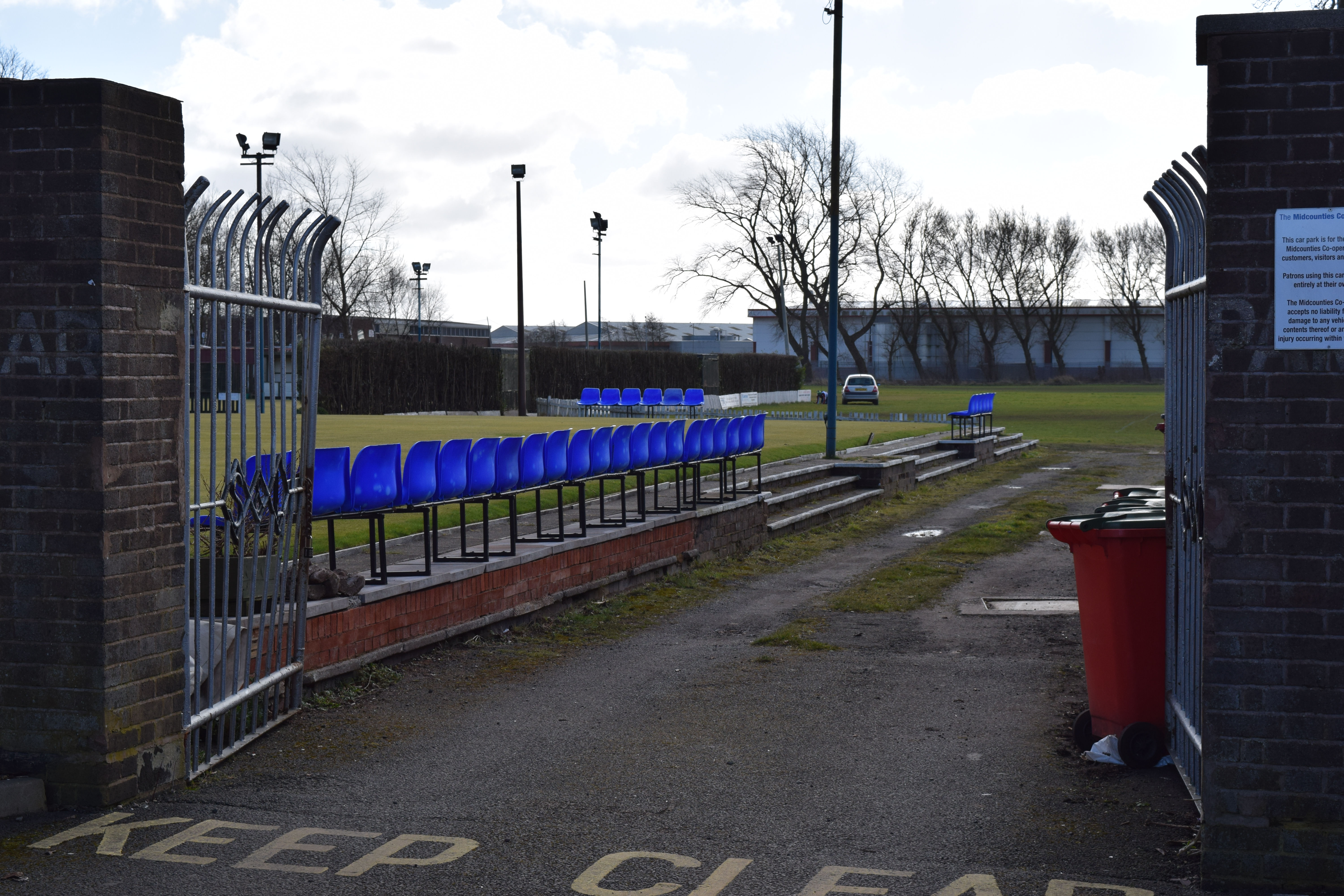
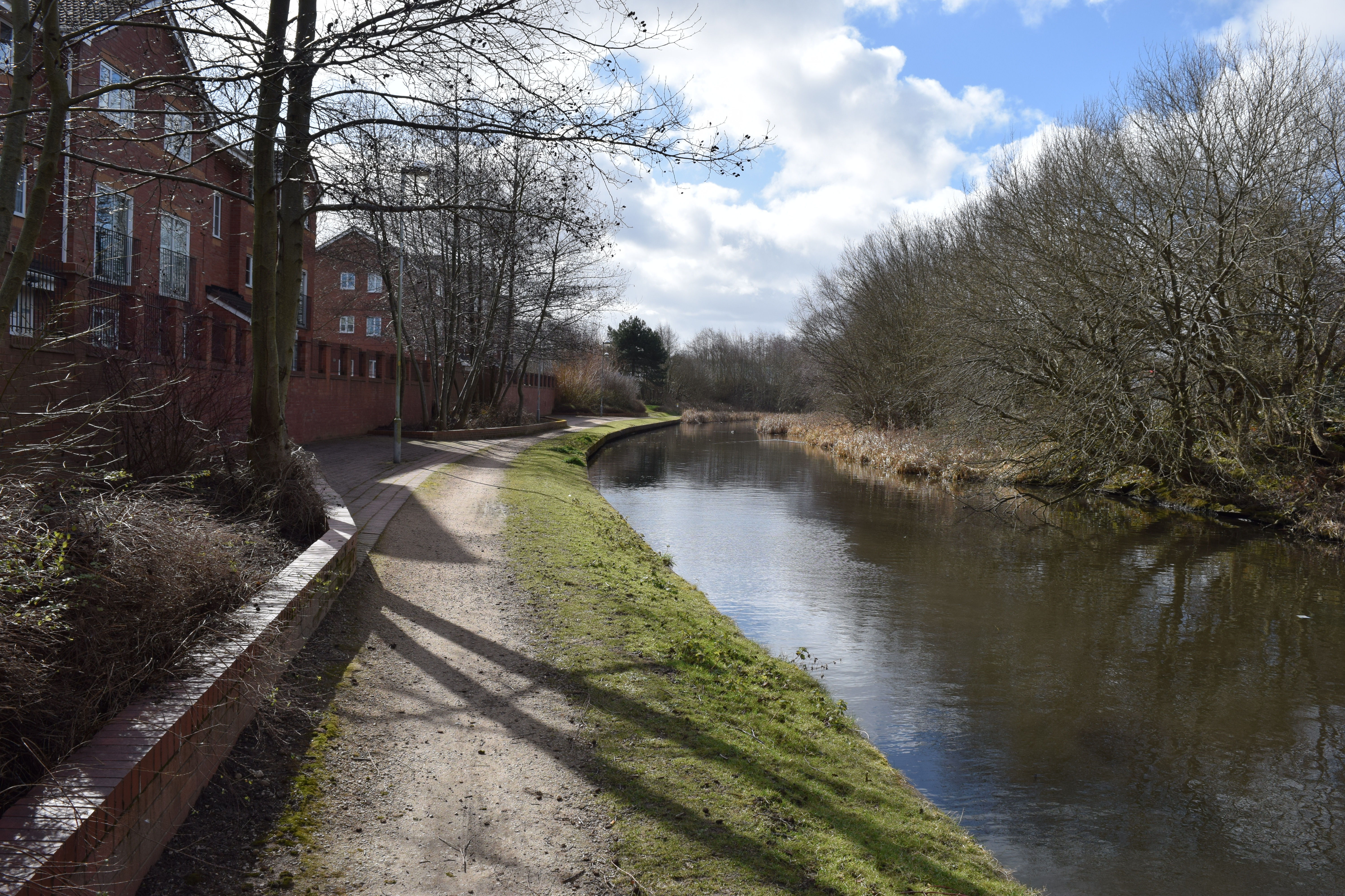
The core walk (there are a number of variations) starts on Millfields Road near The Springvale Club which was once The Steelworks Social Club which still uses gates that were once part of Stewarts and Lloyds Steel Works,( - if travelling by Bus Services 25, 224 and 530 stop here) walk ahead passing Chorley Gardens just before The Canal Bridge. Walk ahead for a short distance (With a new Warehouse complex visible ahead (Previously the site of John Thompson's works) then turn left to descend onto the Towpath of The Birmingham Canal continue along the Towpath to reach the end of the housing estate, turn left here to enter Harley Drive continue along Harley Drive to reach a Cycle Path on your Right follow this and pass the front of Matalan continue along the way to pass Mecca Bingo on your left. You will shortly reach The Black Country Route continue ahead crossing The Black Country Route for a short path to The Coseley Road, looking Lrft Beth's Arch is visible cross straight ahead then past the rear of Bilston Fire Station .
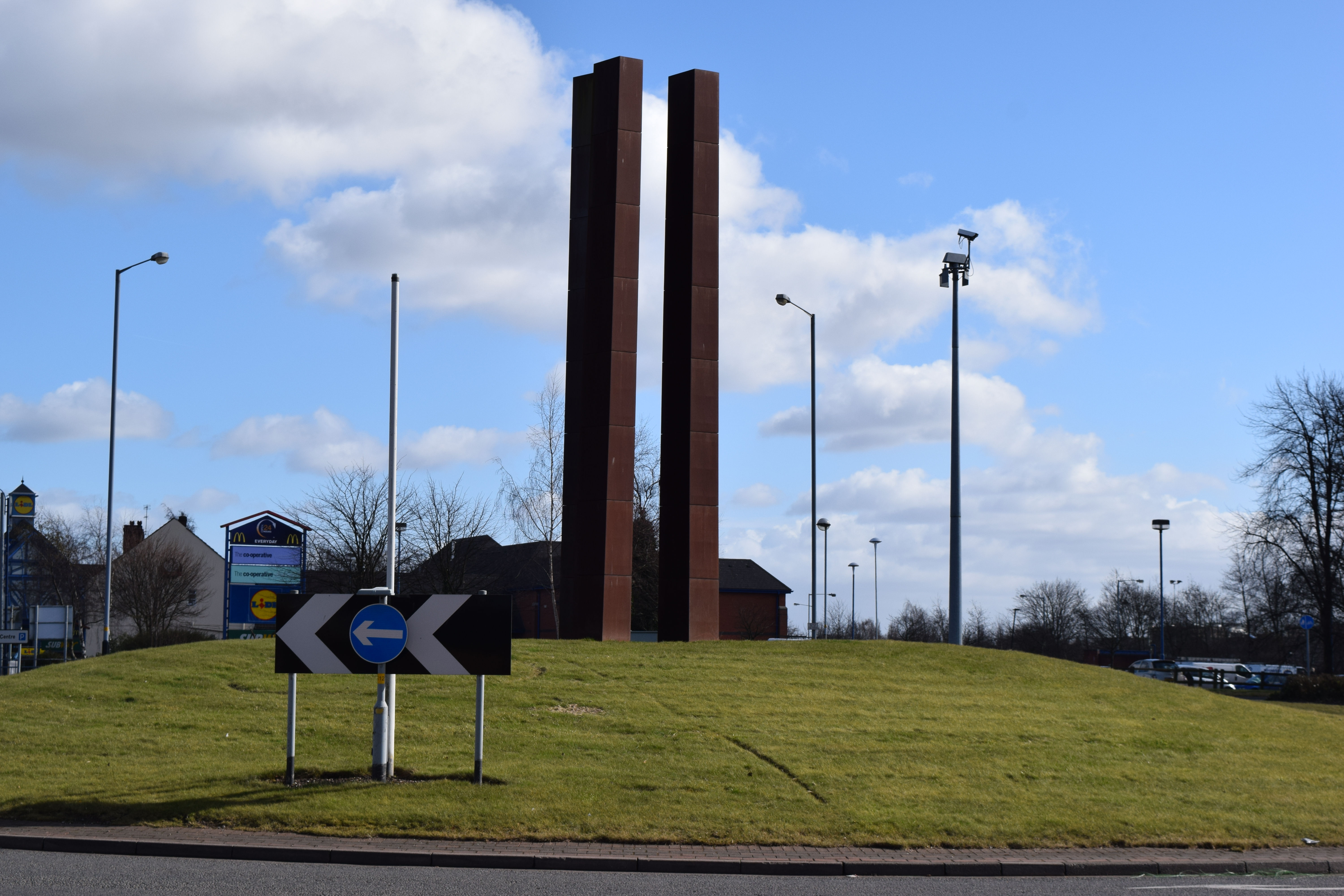
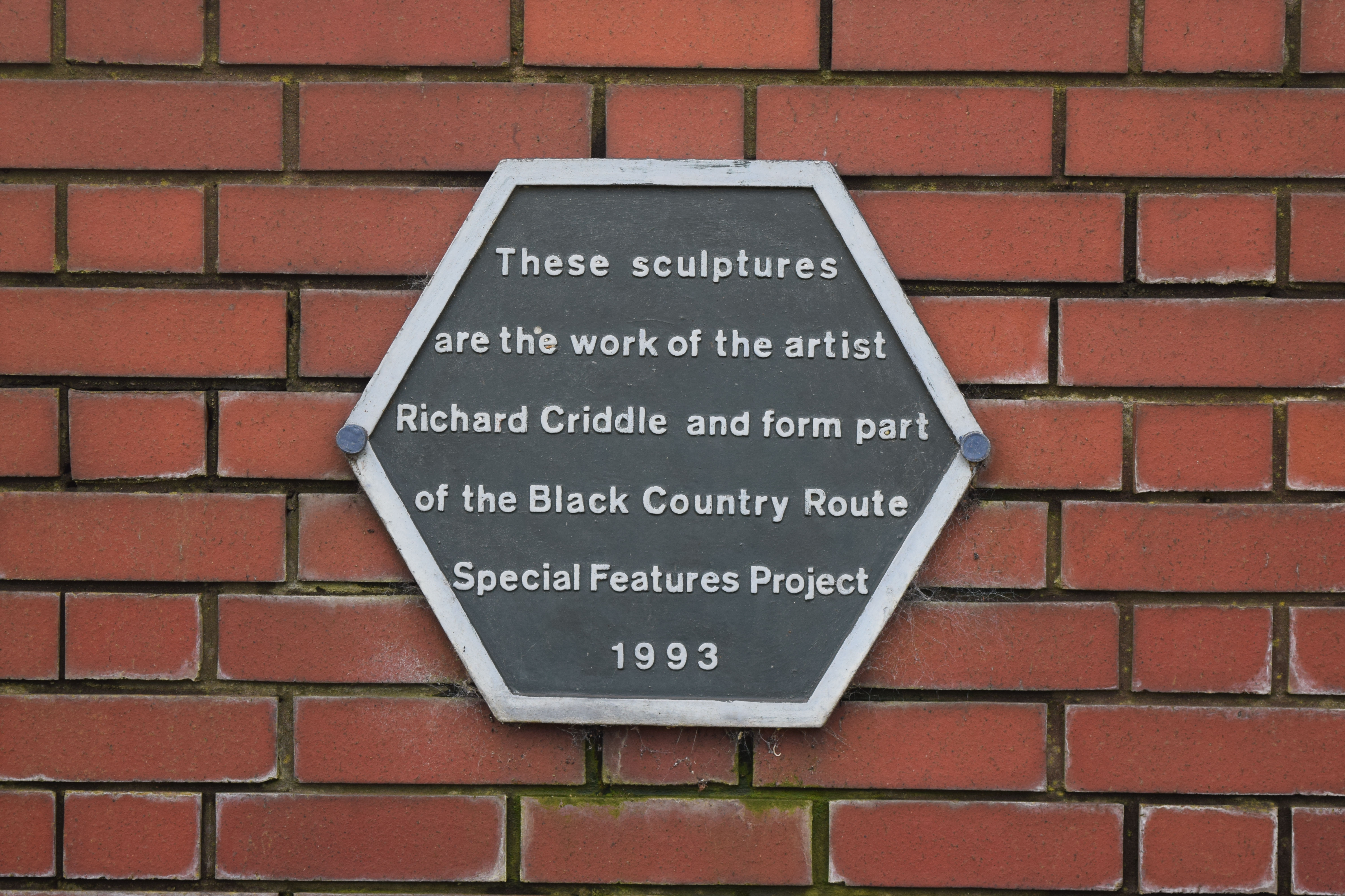
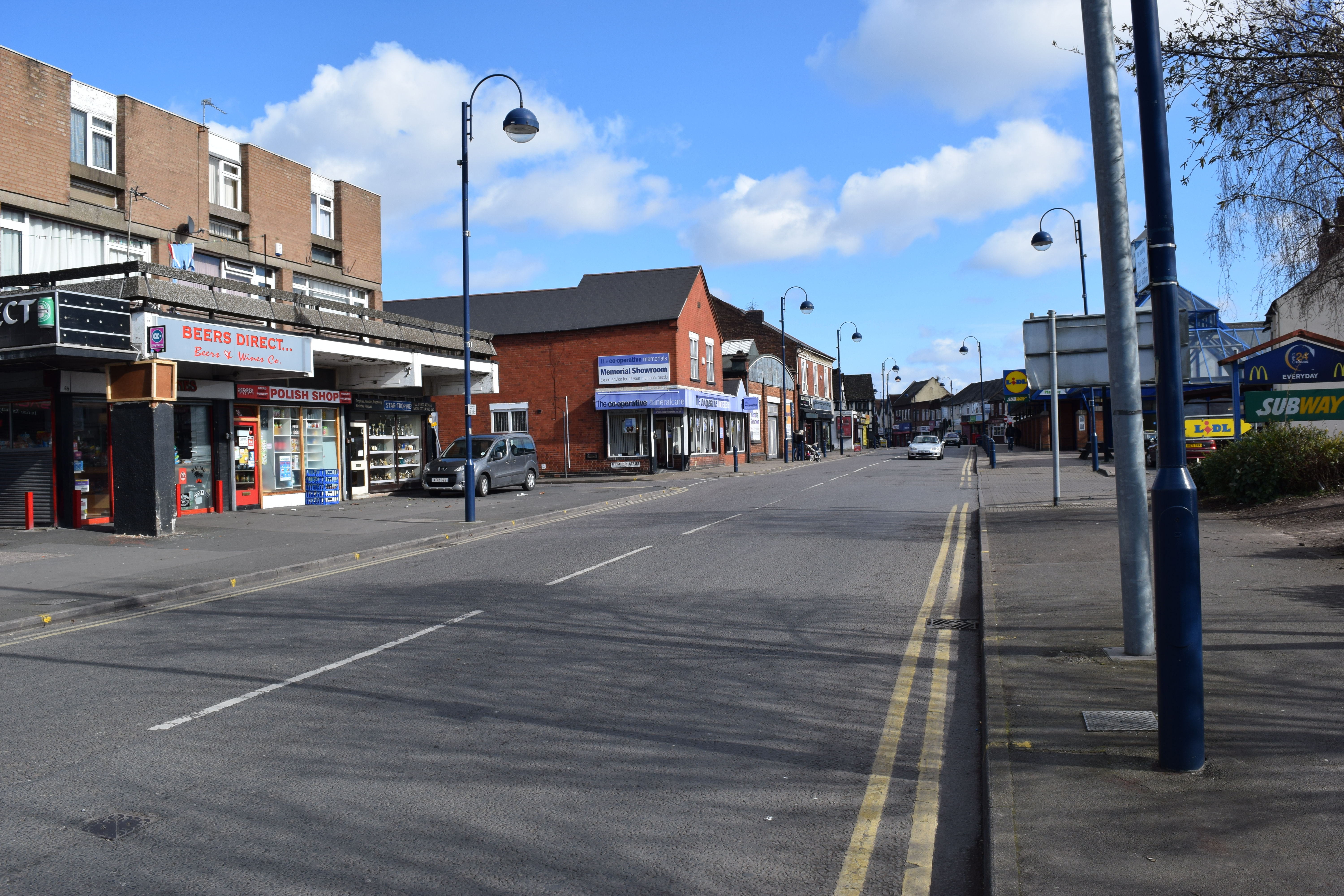
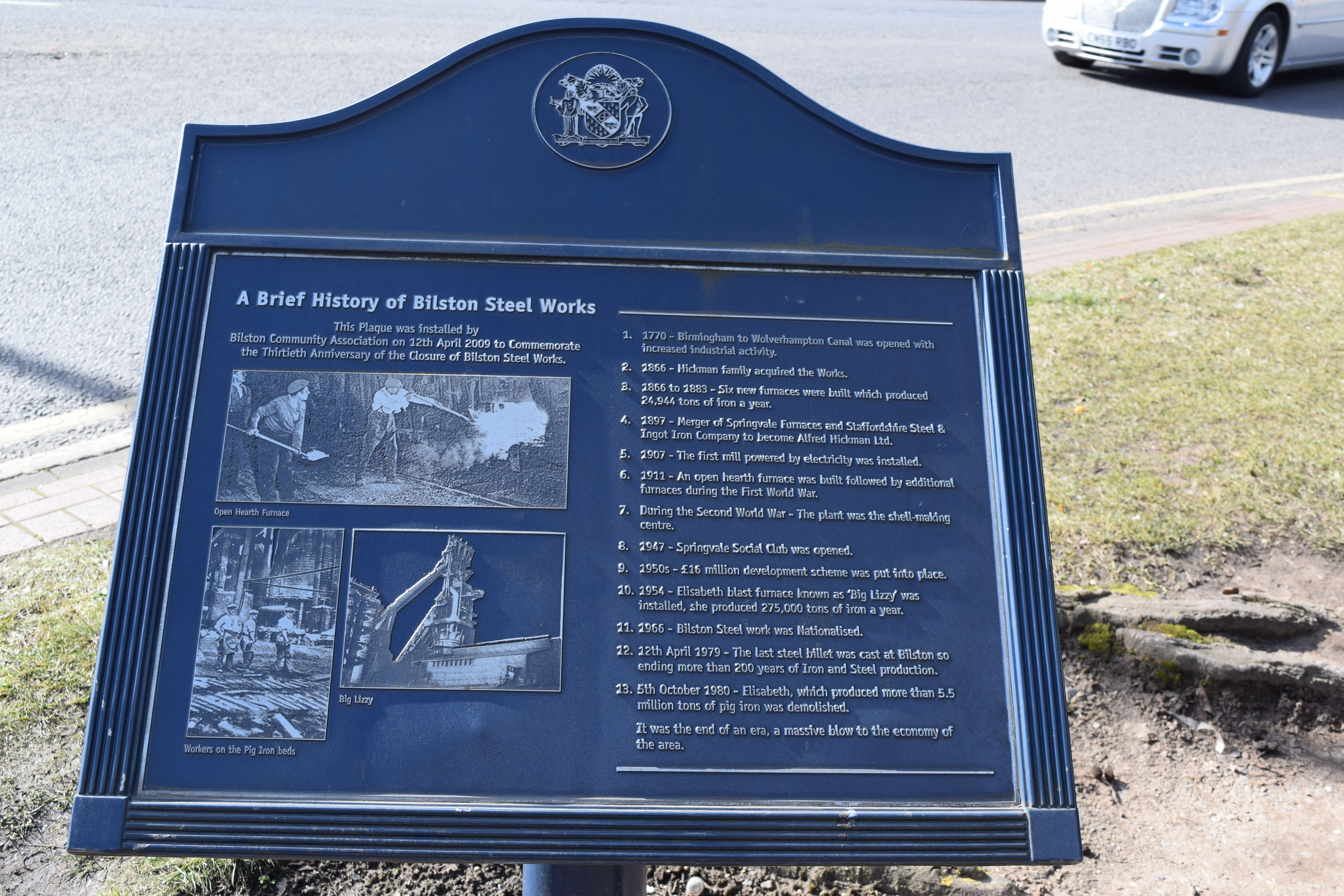
Continuing ahead The SWB Accademy and Bert Williams Leisure Centre can be seen on the Right, follow the path straight ahead as it curves round to the Right to reach The Footbridge over The Black Country Route, Turn Left to cross the bridge then Turn Left alongside The Black Country Route Continue to reach McDonald's, adjacent to the Restaurant you will see a Rolling Mill that formerly belonged to The English Electric Company. A little further to the Right is one of Bilston's 'Hidden Gems' a small 'Garden Area' continue into the garden and you will see some sculptures adorning the walls - these form another part of The Bilston Sculpture Trail mentioned earlier. Following a look around the garden (and if you so wish a little refreshment in McDonald's) continue to the start of Bilston High Street. Reaching the High Street/Millfields Road Roundabout you will see 3 Steel Columns on the Traffic Island in front of you, This (Like Beth's Arch) is part of The Bilston Sculpture Trail " This Sculpture consists of 3 steel monoliths about 10 Metres high. They are intended to reflect Bilston's engineering past". cross to the corner of Wolverhampton Street, you can see here a Commemorative Plaque which was erected in April 2009 by Bilston Community Association. return to Bilston High Street and turn Left.
 |
 |
 |
 |
 |
 |
 |
|
Steel
Monoliths by Miles Davies |
Bert Williams Leisure Centre & SWB Accademy |
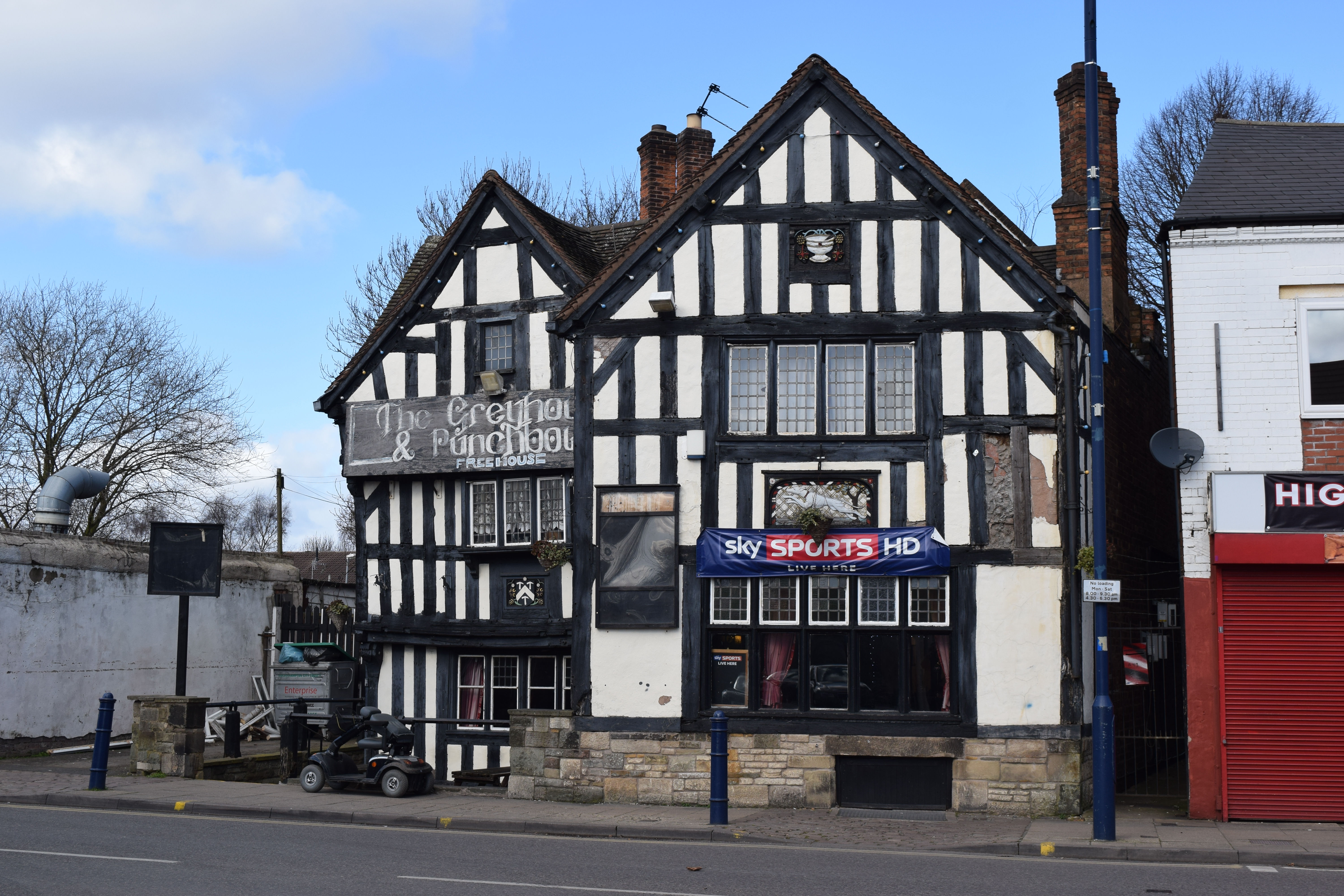
Greyhound & Punchbowl visible ahead |
A Rolling Mill | Information about The Rolling MIll |
About The Sculptures | About The Sculptures |
 |
 |
 |
 |
 |
 |
 |
| Bilston High Street | Commemorative Plaque | Information about The Rolling MIll |
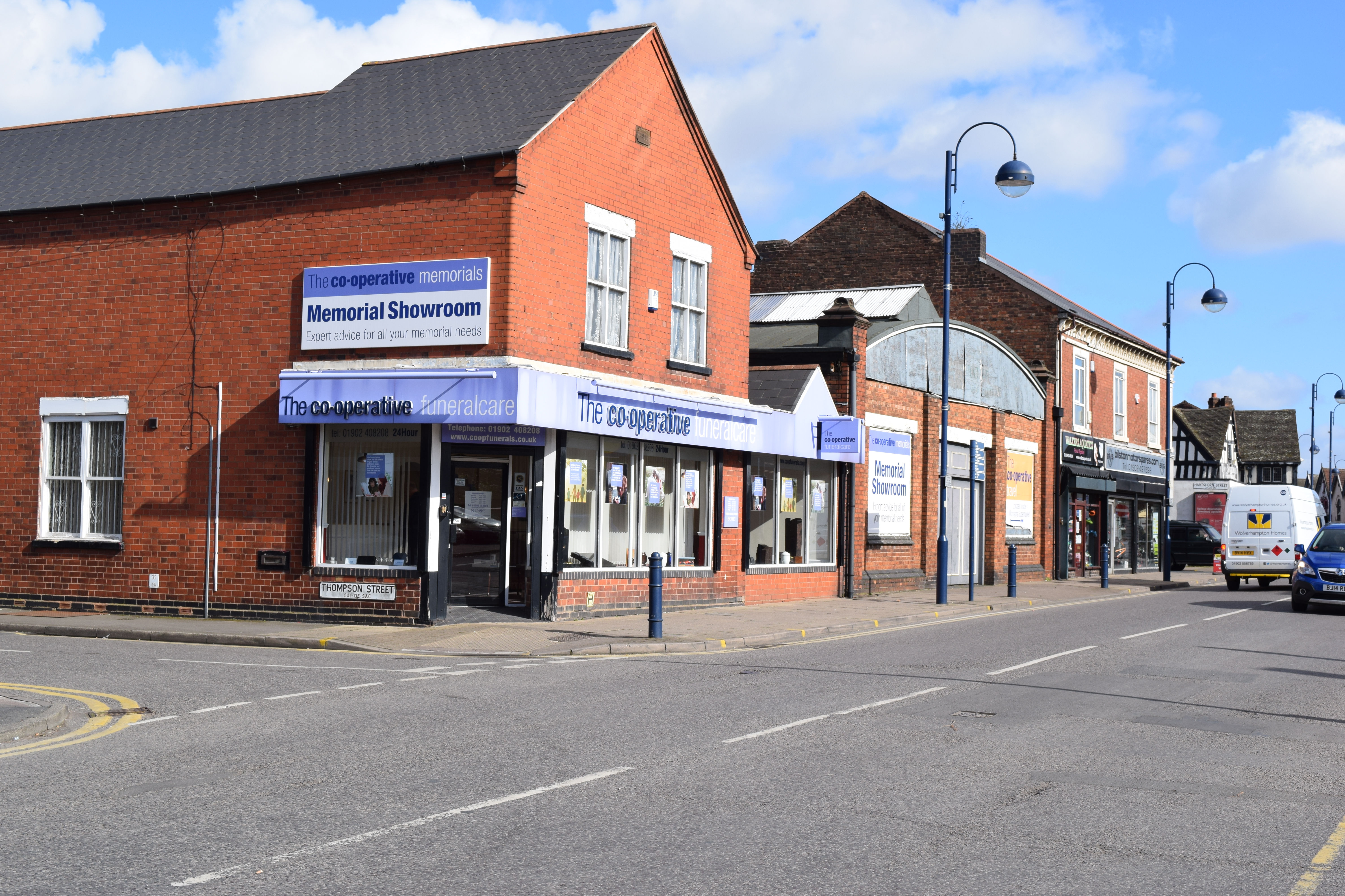
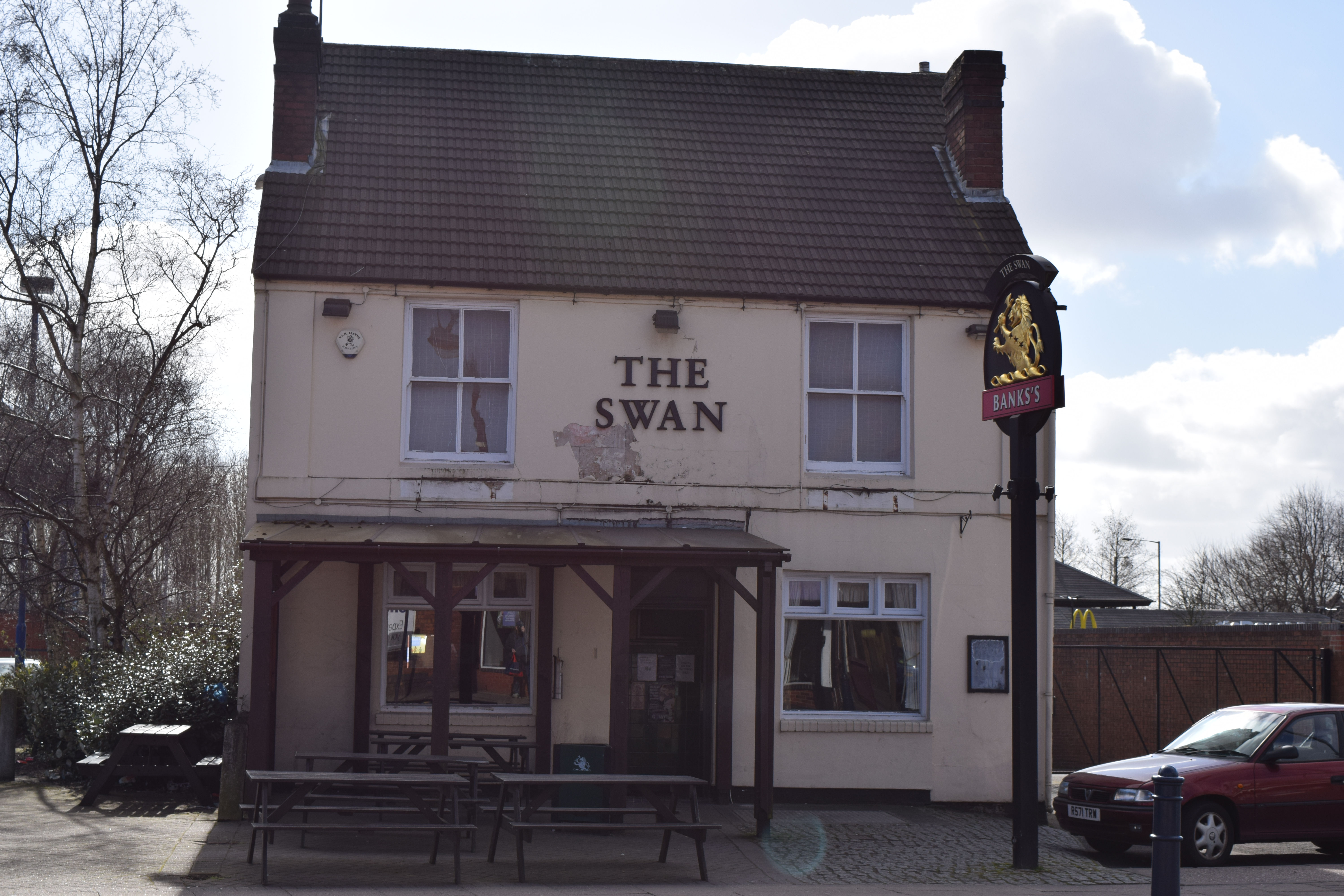
The Co-op Funeral Parlour | The Swan | The Trumpet | The Greyhound and Punchbowl |
Continuing along The High Street, on our Left we see The Co-op Funeral Directors with a blend of old and new styles, directly opposite is the all Modern Lidl store, a little further along on our Right is The Swan one of Bilston's many 'watering holes' a little further still and we see The Trumpet on our Right and on our Left The Greyhound and Punchbowl (Once a local Manor House). Turn Right into Stonefield Road (Pinfold Street on Map) walk towards The Black Country Route and turn Left as you reach The Footbridge. The trail now rejoins The Sculpture Trail for a short distance - as can be seen from the photographs due to years of neglect - many of the sculptures have been obscured by foliage growing over them. Looking to the Right as we walk alongside the Black Country Route we see The Bert Williams Leisure Centre and Morrisons Supermarlet, both obviously modern structures. Whilst the buildings may not be of any hsitorical significance their locations certainly are, both sites and the land behind them once formed part of GKN Sankey a major industrial business locally (and Nationally).
